RF and geospatial systems
LiveRF planning becomes visible and testable.
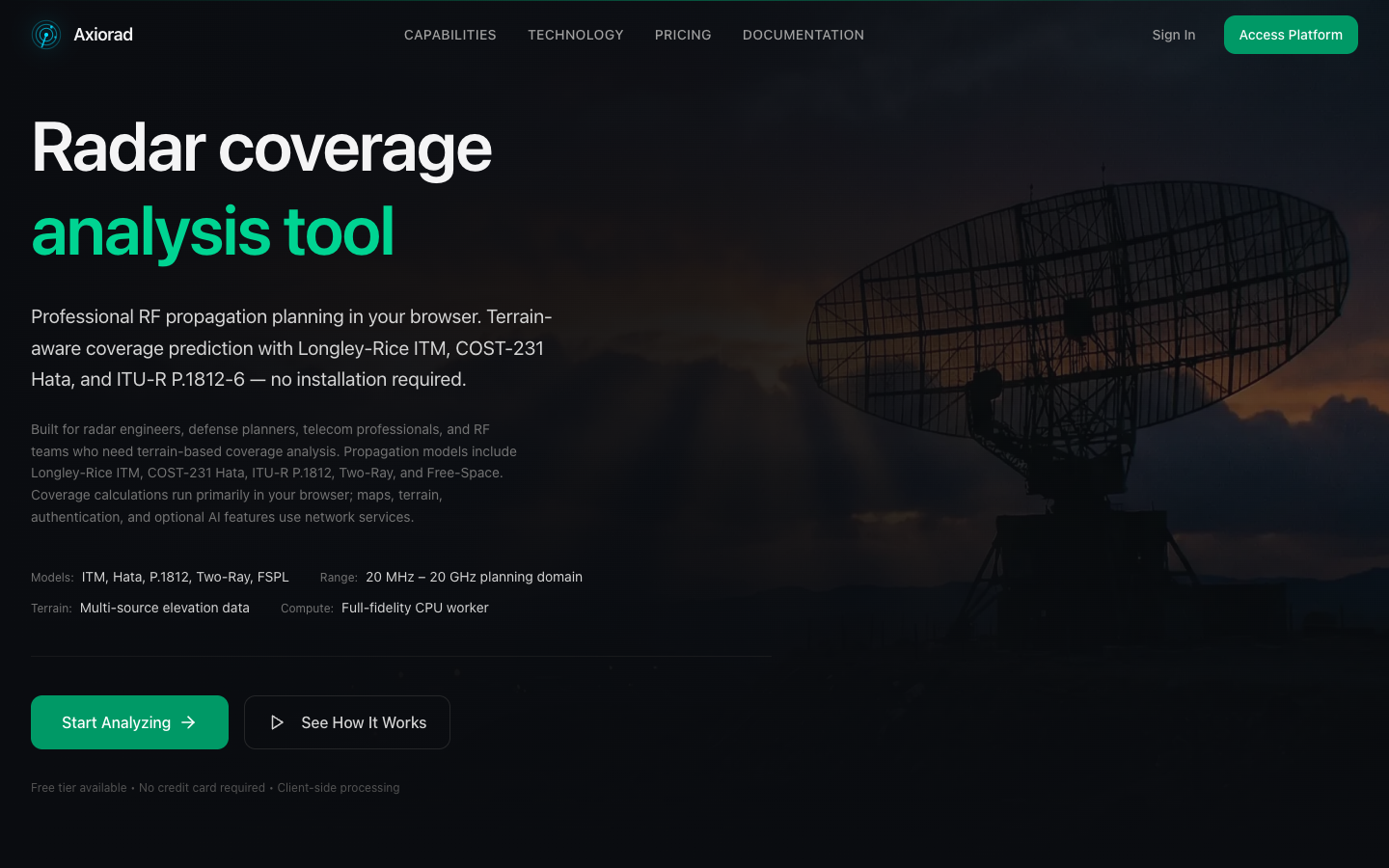
Terrain-aware radar coverage analysis and deployment planning that translates physical-system constraints into a modern web product.
01 / The challenge
Coverage decisions combine terrain, system parameters, site data and operational judgement that are difficult to communicate in static documents.
RF planningTerrain modellingGeospatial UXTechnical review
02 / Product decisions
Decisions before decoration.
- 01
Put the analysis on a map so assumptions and consequences remain visible.
- 02
Support imported customer and site data through a review-first workflow.
- 03
Keep calculations explainable enough for technical discussion.
03 / The system
What had to work together.
- Coverage and terrain modelling
- Map-based site and scenario controls
- KML, KMZ and customer-site import workflows
- Review and export surfaces
04 / Responsible delivery
Useful AI needs a boundary and a recovery path.
- 01
Review before customer data is committed
- 02
Visible parameters and assumptions
- 03
Clear distinction between planning support and formal engineering sign-off
05 / Evidence
What can be verified now.
- Public product available at axiorad.com
- Working terrain and geospatial workflows
- Direct connection between RF experience and product design
Maturity: Live. No adoption, customer or performance metric is implied unless it is stated explicitly.
Discuss a similar problem ↗