Drone mission planning
BetaPlan drone missions on real terrain and keep a record of what was checked.
A UK-first professional beta for drone flight operations and camera design: terrain-aware planning, line of sight, source records and a draft evidence pack for human review. It does not grant regulatory approval.
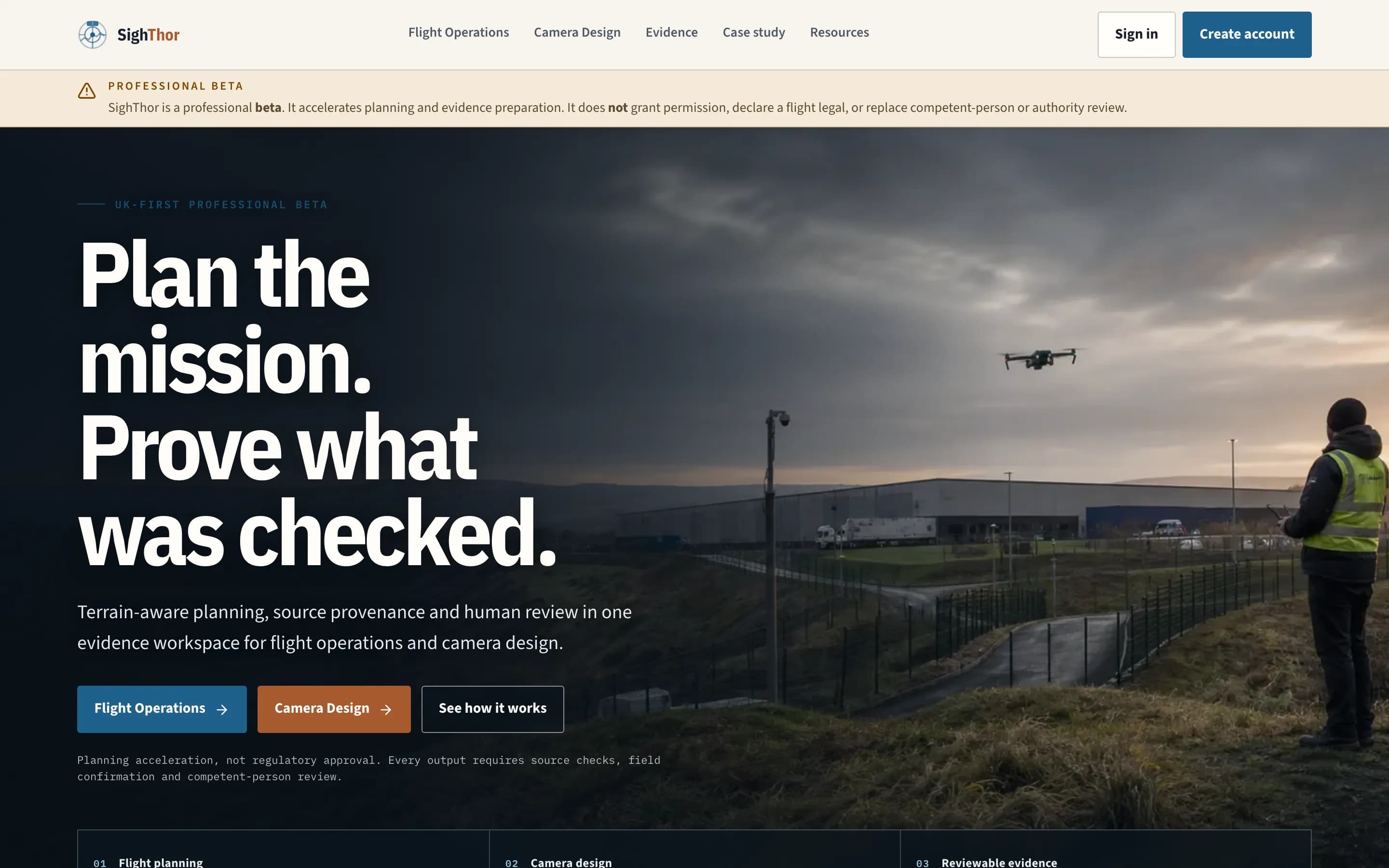
01 / The problem
Professional drone work needs a clear line from the plan to what was checked, and a record that stands up to review.
Flight planningLine of sightCamera coverageReview pack
02 / How I approached it
The decisions that shaped it.
- 01
Keep committed analysis separate from whatever is on screen right now.
- 02
Build the export record into the product, not bolt it on at the end.
- 03
Show missing information honestly instead of filling the gap.
03 / What's inside
What had to work together.
- Terrain- and surface-aware flight planning
- Route line-of-sight checks
- Camera coverage simulation
- Draft evidence pack for human review
04 / Guardrails
Where the AI stops, and what happens when it is wrong.
- 01
Clear committed state
- 02
Source records kept with every export
- 03
It does not grant permission or replace competent-person review
05 / Where it stands
What you can check today.
- Public beta at sighthor.com
- Flight operations and camera design workflows
- Limits of the tool stated openly on the site
Status: Beta. I do not claim users, customers or performance numbers unless they are written here.
Talk about a similar problem ↗